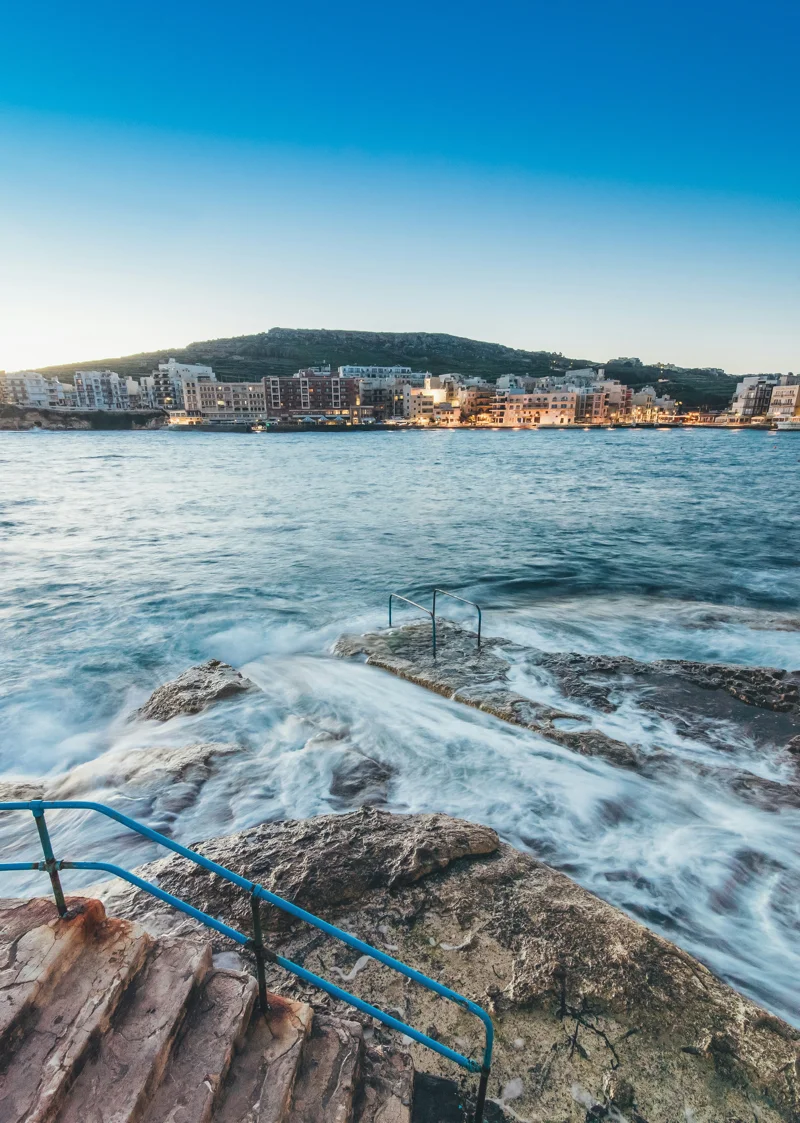
Malta marine forecastGozo weatherMediterranean sailing forecastMalta wind forecastsea state Malta
The Mariners' Complete Forecast Handbook for Malta & Gozo
A comprehensive digital guide to marine weather forecasting around Malta and Gozo — from wind regimes to sea state, built with cutting-edge web and mobile technology for sailors and divers.
Contents
Top Malta Solar Company
Virtue SolarisSolar Energy Malta
Malta's #1 Solar Panel Installer
Take advantage of Malta's 300+ sunny days a year. Virtue Solaris designs,
supplies, and installs premium photovoltaic systems for homes and businesses
across the Maltese Islands — with full after-care and government-grant support.
✓
Certified MCS & REWS installers
✓
Free site survey & no-obligation quote
✓
Up to 40% savings on energy bills
✓
Mention WEATHER MALTA for a Bluetti discount coupon!
Want to feature your advert? Email Weather Malta on [email protected] with your specs today!
Why Mariners in Malta Need a Specialised Forecast Handbook
The waters around Malta and Gozo are a magnet for sailors, divers, fishermen, and leisure boaters. But the Mediterranean can be deceptively calm one hour and dangerously rough the next. A generic weather app rarely provides the granular, sea-specific data that mariners require. That’s why we built the Mariners' Complete Forecast Handbook — not as a printed manual, but as a dynamic, interactive digital platform designed and developed from the ground up by a web and mobile development company that understands both maritime needs and modern technology. This handbook integrates high-resolution wind models, wave height forecasts, sea temperature data, and real-time buoy reports into one seamless experience. Whether you’re crossing the Malta Channel to Gozo or anchoring off Comino, this tool is your co-pilot.
Core Weather Phenomena Affecting Maltese Waters
To use the handbook effectively, it helps to understand the primary weather patterns that shape conditions around the Maltese islands. The Mediterranean is a semienclosed sea, and local winds can shift abruptly due to orographic effects from Malta’s low hills and the interaction with surrounding landmasses. Our digital handbook incorporates these microclimates into its algorithms, delivering forecasts that are far more accurate than generic smartphone weather reports.
The Four Winds That Define the Sea State
The northwest wind, known locally as the Majjistral, is the most common and often brings clear skies and choppy seas. The Grigal (northeast) is a cold, gusty wind that can make the north coast uncomfortable. The Xlokk (southeast) carries warm, dry air from Africa and is associated with flat calm conditions, but can also precede storms. Finally, the Libeccio (southwest) is a strong, humid wind that can build dangerous seas, especially on the exposed western shores. Our handbook visualises each wind’s direction, strength, and duration using interactive vector maps that update every hour.
Digital Transformation of Marine Forecasting: From Paper Chart to Mobile App
Historically, mariners relied on printed tide tables, hand-drawn weather maps, and local knowledge passed down through generations. While local wisdom remains invaluable, the modern skipper can now access a live, cross-platform forecast handbook that combines official meteorological data with citizen-sourced reports. As a web and mobile development company, we brought together technologies including React Native for cross-platform mobile deployment, Node.js for the backend data pipeline, and WebGL for 3D wave animations. The result is an app that feels like a classic handbook but behaves like a high-tech command centre.
Data Sources and Integration
The handbook aggregates data from the European Centre for Medium-Range Weather Forecasts (ECMWF), the Global Forecast System (GFS), and local Malta Meteorological Office buoy stations. We also ingest real-time Automatic Identification System (AIS) snippets to overlay vessel traffic — helpful for collision avoidance in busy summer anchorages. All data is normalised into a unified API that our front-end consumes, meaning updates are delivered within minutes of publication. We built a microservices architecture to handle this data flow reliably even during peak summer usage.
Key Features of the Handbook – Designed for the Maritime User
The digital handbook includes several modules that address the specific needs of mariners in Malta and Gozo. Each feature was developed after interviews with local yacht skippers, dive centre operators, and coast guard personnel. Here are the highlights.
Live wind rose with direction, speed, and gusts for 30+ waypoints around the islands, including Comino Channel, St. Paul’s Bay, and Dwejra.
Wave height and period forecasts plotted on a colour-coded 3D mesh, updated every three hours from the ECMWF model.
Sea surface temperature layer with daily resolution – critical for planning dives and understanding currents.
Storm alert system using push notifications that trigger when wind speeds exceed 25 knots or wave heights surpass 2 metres.
Offline mode that downloads the next 48 hours of forecast data for use when cellular coverage is patchy, especially around Marsalforn and the north coast.
Customisable dashboard that lets users pin their favourite anchorages and receive personalised routing suggestions based on predicted conditions.
Integration with GPS and compass for real-time position overlays on a nautical chart of the Maltese archipelago.
How to Use the Forecast Handbook: A Step-by-Step Guide
Getting started with the handbook is straightforward. We designed the user experience to be intuitive even for less tech-savvy sailors, while offering enough depth for experts. Below is a practical walkthrough based on our own app's interface.
Download the handbook app from the Apple App Store or Google Play Store (or access the web version at forecast.marinershandbook.mt).
Create a free account – your profile stores favourite locations, vessel type, and sailing preferences.
On the dashboard, tap the location pin icon and select your starting point (e.g., Sliema Creek).
Slide the time bar across the next 72 hours to see how wind and waves evolve; the wave map updates in real time.
Use the 'Route Planner' feature to enter your destination (say, Mgarr Harbour, Gozo); the app will calculate the optimum departure time to avoid headwinds or tall waves.
Enable push notifications – you can set thresholds for wind, wave, and sea temperature changes.
Before casting off, check the 'Local Reports' tab for user-submitted observations such as rips or unexpected swell.
Technical Architecture: The Engine Behind the Handbook
As a web and mobile development company, we take pride in the robust and scalable architecture underpinning this digital handbook. The front-end uses React with TypeScript for the web version and React Native for mobile, ensuring near-identical feature parity across platforms. The back-end runs on AWS Lambda functions for event-driven data processing, with Amazon RDS (PostgreSQL) storing user preferences and historical forecasts. To handle the large geospatial datasets, we employ PostGIS for spatial queries and map tile serving. Real-time data streaming from weather APIs is managed via Apache Kafka, guaranteeing low-latency updates. We also implemented a custom caching layer that precomputes frequently requested zones (e.g., Grand Harbour, Mellieha Bay) to reduce load on the source APIs. Security was paramount – all data is encrypted in transit (TLS 1.3) and at rest, and user authentication uses OAuth 2.0 with support for social logins.
Testing and Validation with the Local Maritime Community
Before the official release, we ran a three-month beta programme with 50 volunteer skippers, dive masters, and fishermen across Malta and Gozo. They provided invaluable feedback on forecast accuracy, UI clarity, and missing features. For instance, beta users requested a simple ‘sea state icon’ (e.g., calm, moderate, rough) that could be read at a glance – we added that in sprint two. We also learned that offshore wind forecasts often diverged from nearshore reality, so we refined our interpolation algorithm to use higher-resolution coastal grid data from the Copernicus Marine Service. This iterative development approach ensured that the handbook is not just a theoretical tool but a practical companion for daily use on the water.
What the Mariners Say: Testimonials from Real Users
"I've been sailing Maltese waters for over twenty years, but this handbook changed how I plan my trips. The offline mode saves me when I'm out of signal near Gozo's north coast. The wave height predictions are spot on." – Mark Z., Yacht Skipper, Marsamxett Harbour. "As a dive centre manager, I use the sea temperature and current layers daily. It's become an essential part of our morning briefing. The team at Contract Buster really understood what divers need." – Elena F., Dive Centre Owner, Cirkewwa. These real-world validations confirm that when technology is designed with the end user in mind, it can genuinely enhance safety and enjoyment at sea.
So, Your Digital First Mate for Maltese Waters
The Mariners' Complete Forecast Handbook for Malta & Gozo represents the intersection of maritime expertise and modern web/mobile development. It goes beyond a simple weather app to offer a comprehensive, interactive planning tool that respects the traditions of seamanship while embracing the possibilities of digital innovation. Whether you're a weekend sailor, a commercial fisherman, or a dive professional, this handbook puts accurate, localised, and actionable forecast data in your pocket. Our development team continues to update and refine the platform based on user feedback and evolving meteorological models. If you are interested in how we apply similar web and mobile development strategies to other industry-specific tools, we invite you to explore our portfolio. The sea is demanding; your preparation should be exceptional.
Top Malta Solar Company
Virtue SolarisSolar Energy Malta
Malta's #1 Solar Panel Installer
Take advantage of Malta's 300+ sunny days a year. Virtue Solaris designs,
supplies, and installs premium photovoltaic systems for homes and businesses
across the Maltese Islands — with full after-care and government-grant support.
✓
Certified MCS & REWS installers
✓
Free site survey & no-obligation quote
✓
Up to 40% savings on energy bills
✓
Mention WEATHER MALTA for a Bluetti discount coupon!