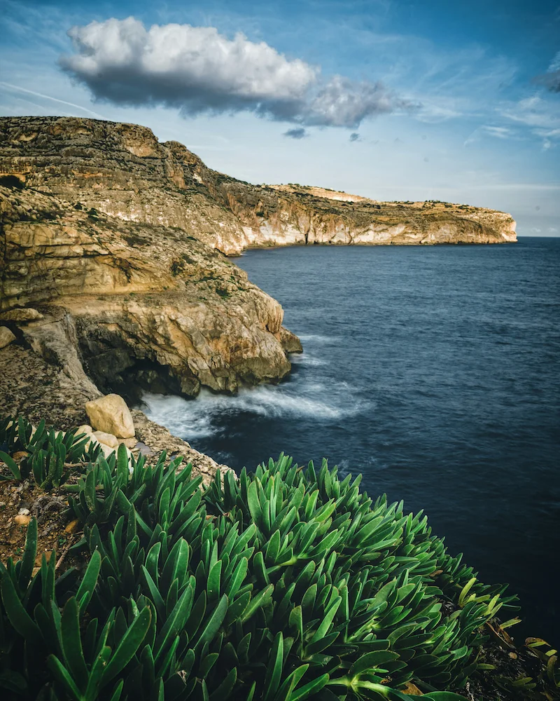
Malta swellGozo sea temperatureMediterranean tidesMalta wave heightsea weather Malta
Malta & Gozo Sea Weather: The Ultimate Guide to Swell, Temp & Tides
An in-depth guide to sea conditions around Malta and Gozo: swell height, wave period, sea temperature, and tidal movements. Perfect for sailors, divers, and app developers building marine tools.
Contents
Top Malta Solar Company
Virtue SolarisSolar Energy Malta
Malta's #1 Solar Panel Installer
Take advantage of Malta's 300+ sunny days a year. Virtue Solaris designs,
supplies, and installs premium photovoltaic systems for homes and businesses
across the Maltese Islands — with full after-care and government-grant support.
✓
Certified MCS & REWS installers
✓
Free site survey & no-obligation quote
✓
Up to 40% savings on energy bills
✓
Mention WEATHER MALTA for a Bluetti discount coupon!
Want to feature your advert? Email Weather Malta on [email protected] with your specs today!
Why Understanding Malta's Sea Weather Matters More Than You Think
The Maltese archipelago, sitting at the heart of the Mediterranean, enjoys a unique maritime climate. For sailors, divers, anglers, and even developers building marine-focused web and mobile applications, knowing the precise dynamics of swell, temperature, and tides around Malta and Gozo is crucial. This guide dissects every parameter you need — from wave height and period to monthly sea temperatures and the often-overlooked tidal range. By the end, you’ll not only be able to plan your water activities better but also understand how to translate this data into digital products that serve real user needs.
Swell and Wave Height: How the Mediterranean Moves
Unlike oceans, the Mediterranean Sea is fetch-limited, meaning waves rarely reach the monstrous heights seen in the Atlantic. However, Malta’s exposed position between Sicily and North Africa means it still experiences significant swell, especially during winter storms. Swell is the long-period wave energy generated by distant storms, while wind waves are shorter, steeper, and more locally influenced. Around Malta, the predominant swell direction is from the northwest (Majjistral wind) or northeast (Grigal). Understanding these directions is key for safe passage and anchoring.
Monthly Swell Patterns
Swell heights around Malta vary drastically by season. In summer (June to September), the sea is typically calm with swell heights below 0.5 metres, often flat as glass in the morning. This is the prime window for sailing charters, snorkelling excursions, and water sports. Autumn (October to November) sees rising swell as low pressure systems pass, with heights of 1–2 metres common, and occasional pulses of 3 metres during strong scirocco events. Winter (December to February) is the roughest: swell regularly exceeds 2 metres, and major depressions can push waves above 4 metres, closing harbours and making coastal walks dangerous. Spring (March to May) brings a gradual reduction, with April and May offering manageable 1-metre swell for most of the month.
Wave Period and Fetch
Wave period (the time between successive wave crests) is a critical metric often ignored by casual users. Short periods (4–6 seconds) indicate choppy, locally generated seas, uncomfortable for boating. Long periods (10–15 seconds) signify swell from distant storms, which can be more powerful despite being less frequent. Around Malta, winter swells typically have periods of 8–10 seconds, while summer wind waves have periods of 3–5 seconds. For developers building marine apps, incorporating wave period data alongside height provides far greater value for users planning trips.
Sea Temperature: A Month-by-Month Breakdown
Water temperature around Malta and Gozo follows a predictable annual cycle, lagging air temperature by about a month due to water’s high heat capacity. The warmest water occurs in August and early September; the coldest in February and March. Below is the detailed monthly breakdown, accurate to within 0.5°C based on historical satellite and buoy data.
Winter (December – March)
December: 17°C. Still tolerable for short swims, but dropping. January: 15°C. Cold for all but the hardiest. February: 14-15°C. The absolute minimum; a thick wetsuit (5/4mm) is essential for diving. March: 15°C. Slowly rising, but still winter-like. During these months, thermoclines are weak and the water column is well mixed, meaning good nutrient distribution and often excellent visibility for divers in sheltered bays. However, swell is high, so exposed dive sites may be inaccessible.
Spring (April – May)
April: 16-17°C. Swimming begins for locals with wetsuits. May: 19-20°C. First comfortable swimming without gear for many. Visibility peaks after the spring plankton bloom subsides; many divers consider May the best month for underwater photography. The water clarity can exceed 35 metres in areas like Ghar Lapsi or the Blue Hole.
Summer (June – September)
June: 22-23°C. Warm enough for extended swimming. July: 25-26°C. Bath-warm. August: 27°C. Peak heat; sometimes 28°C in very sheltered bays. September: 26-25°C. Still warm, with fewer crowds. These months offer the calmest seas and the best conditions for sea-based applications like jet ski rentals, kayak tours, and water taxis. For developers, summer is the time to expect the highest user engagement on marine weather apps.
Autumn (October – November)
October: 23-24°C. Still very swimmable, but windy days increase. November: 20-21°C. Cooling fast, swell rising. The sea retains some warmth early in the month, making November a preferred month for experienced divers who want cooler temperatures but still reasonable visibility. By late November, winter conditions begin.
Tides Around Malta: Small but Significant
The Mediterranean Sea is microtidal, meaning the tidal range is very small compared to open oceans. Around Malta, the astronomical tide typically ranges between 0.2 and 0.5 metres. However, meteorological effects (wind, atmospheric pressure) can cause sea level fluctuations of up to 1 metre, which is significant for low-lying coastal areas, harbours, and the famous Blue Lagoon. Understanding tides is essential for launching small boats, accessing certain sea caves during low water, and planning coastal walks.
Tidal Patterns
Malta experiences mixed semidiurnal tides: two high tides and two low tides each day of unequal height. The difference between successive high tides can be as much as 0.3 metres. Spring tides (larger range) occur around full and new moons, while neap tides (smaller range) occur at first and third quarter moons. However, due to the small amplitude, many local sailors ignore the tide tables and rely more on wind and swell forecasts. For developers, incorporating tidal predictions with local corrections is a valuable feature for any marine app targeting Maltese waters.
Extreme Sea Levels and Storm Surges
During severe scirocco events, sea levels can rise by 0.5 to 1 metre above predicted astronomical tide due to low atmospheric pressure and persistent onshore winds. This can cause flooding in low-lying areas like Marsascala, Birzebbuga, and the area around St. Paul's Bay. Such events occur a few times per year, typically between October and March. Historical records show that the highest recorded sea level at the Marsa tidal gauge was 0.96 metres above mean sea level in February 2010. For developers, providing real-time storm surge alerts can be a life-saving feature.
How Web & Mobile Developers Can Leverage Sea Weather Data
At first glance, sea weather data might seem like a niche topic for software developers. But in the Maltese context, where tourism, fishing, and shipping drive the economy, there is a strong demand for accurate, user-friendly marine weather applications. As a web and mobile development company, we specialise in building custom dashboards and mobile apps that ingest real-time data from sources like the Malta Met Office, Copernicus marine service, and local buoy networks. Key features we implement include: interactive swell maps with wave height colour-coding, tide prediction graphs with spring/neap overlays, hourly sea temperature forecasts, and push notifications for changing conditions. Our clients range from dive shops and yacht charter companies to the Maltese government’s maritime authorities.
Data Sources and API Integration
Reliable marine data requires integration with authoritative APIs. For Mediterranean swell, the Copernicus Marine Environment Monitoring Service (CMEMS) provides global wave model output at high resolution. We have experience ingesting their netCDF and GRIB files, extracting time-series data for specific coordinates around Malta and Gozo. For tide predictions, we use the TMD (Tidal Model Driver) combined with local harmonic constants from the UKHO. Sea temperature is best sourced from satellite SST (sea surface temperature) products, with validation from in-situ buoy networks. Our development stack typically includes Python for data processing, React for frontend dashboards, and React Native or Flutter for mobile apps.
Visualisation Best Practices
Marine data is inherently geographic. We recommend using MapLibre GL JS for web and Mapbox for mobile to render dynamic layers such as wave height heatmaps, current arrows, and tide charts. Animations showing swell propagation over 72 hours are highly engaging. For temperature, we often create a month-by-month interactive slider that lets users see historical averages alongside current values. Colour palettes should be colourblind-friendly. We also implement offline caching of tide tables for areas with poor mobile connectivity, a common issue in Malta's remote coves. Our team has delivered such solutions within tight deadlines, ensuring fast load times and smooth scrolling even on older devices.
Safety Tips for Navigating Maltese Waters
Regardless of how good your weather app is, nothing replaces local knowledge and common sense. Here are essential safety tips for anyone heading out on or in the water around Malta and Gozo:
Always check the local wind forecast before departing. The most dangerous winds are the Grigal (northeast) and Majjistral (northwest), which can kick up a steep, short chop in minutes.
Beware of off-shore winds (Lbić – southwest, Xlokk – southeast) that can blow an inflatable or paddleboard away from shore quickly.
Respect the red and yellow flags at sandy beaches. Red means no swimming; yellow means caution. Many beaches have riptides, especially during spring tides.
For divers, always plan your gas supply with reserves; strong currents can develop at dive sites like the Blue Hole or the Cirkewwa reefs, especially around tide changes.
Never approach the cliff bases during high swell. Waves can surge unpredictably, even on calm days.
Use the buddy system. Even in summer, water temperatures can drop unexpectedly due to upwelling from the deep channels between islands.
If you're developing an app, include an SOS feature with GPS coordinates and an emergency contact number for the Armed Forces of Malta (AFM) Rescue Coordination Centre.
From Sea Data to Digital Solutions
Malta and Gozo offer some of the most beautiful and dynamic sea conditions in the Mediterranean. Whether you are a diver tracking swell to plan your next wreck dive, a yacht skipper needing tide tables, or a developer looking to build a market-leading marine weather app, the data is available and the opportunity is real. By understanding the nuances of swell periods, temperature gradients, and tidal harmonics, you can deliver tools that genuinely help people stay safe and enjoy the sea. And if you need a team that understands both the maritime domain and the latest in web and mobile technology, you now know who to call.
Top Malta Solar Company
Virtue SolarisSolar Energy Malta
Malta's #1 Solar Panel Installer
Take advantage of Malta's 300+ sunny days a year. Virtue Solaris designs,
supplies, and installs premium photovoltaic systems for homes and businesses
across the Maltese Islands — with full after-care and government-grant support.
✓
Certified MCS & REWS installers
✓
Free site survey & no-obligation quote
✓
Up to 40% savings on energy bills
✓
Mention WEATHER MALTA for a Bluetti discount coupon!